
Around 70 AD the Brigantes, the dominant tribe in Northern England, rebelled against the Romans. To contain and then suppress them the Roman army built surfaced roads, with forts a day’s march apart, so troops and supplies could move quickly to wherever they were needed, even in winter. One such fort was Melandra, and it became an important junction.
We don’t yet have a full picture, but we do know that it sat on a road coming from the south and then heading up Longdendale into the Brigantian heartland in Yorkshire, and another running east-west. Recently, a road has been identified running from Manchester through Longdendale, by-passing Melandra, and which may date from after the Brigantes were pacified and the fort abandoned. So far, we’ve traced about 16 miles of road in this area, with at least another 12 where the route is still uncertain. The photo shows the road into Yorkshire, now part of the Pennine Way, approaching Crowden.
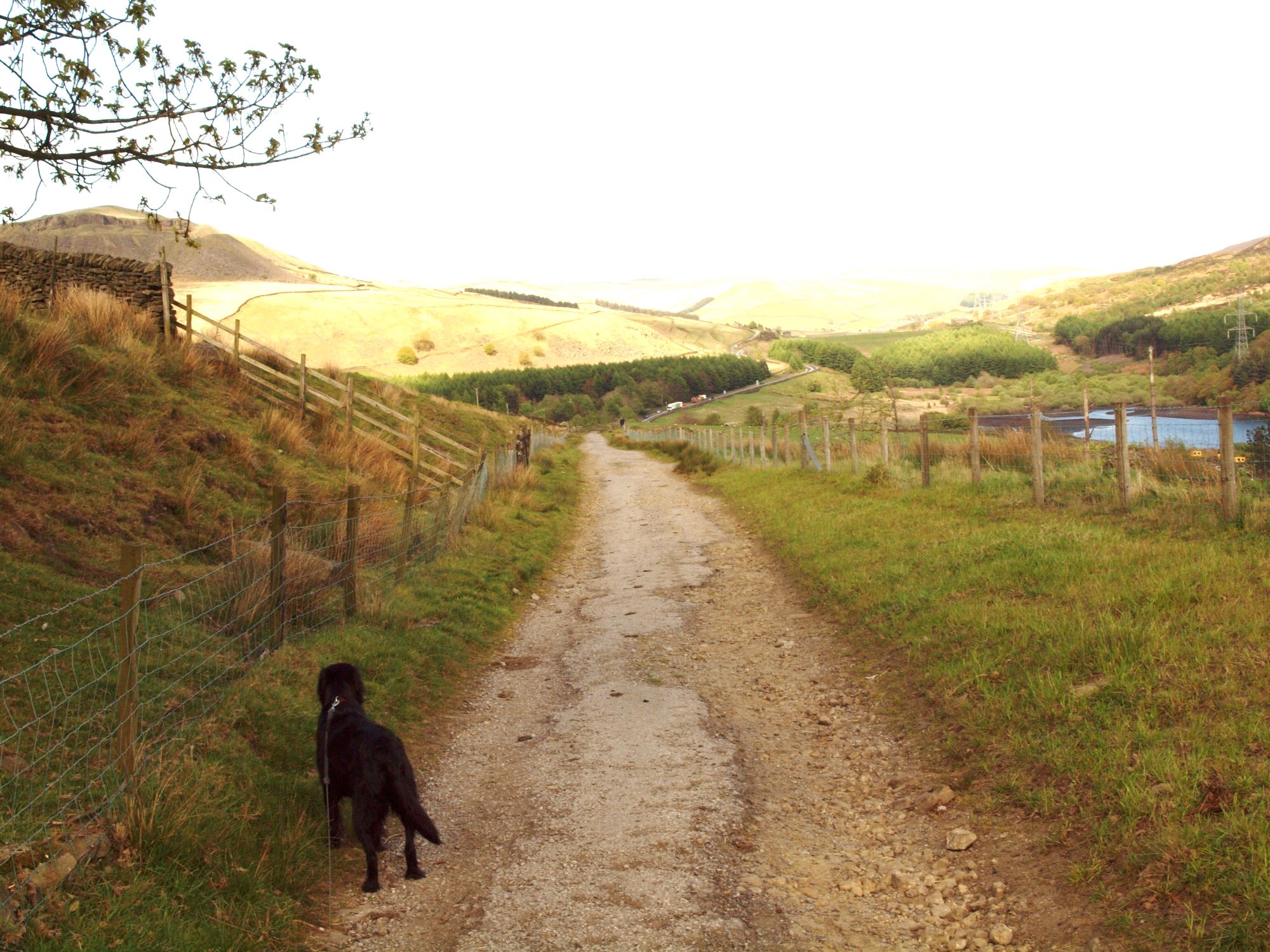
These roads were about 15 feet wide with ditches either side, and surfaced with gravel on top of broken stone. On level ground they sat on a low embankment or “agger”; elsewhere, as on the photo, they ran through cuttings. There would have been bridges, too, although no trace has been found locally. They were strong enough to take wheeled vehicles but were mainly designed for marching troops in a hurry, so were relentlessly straight, changing course only when there was no choice.
After the Romans left, however, the Anglo-Saxons had no use for most of them. They went to places they didn’t want to go, or – being intended for fit soldiers – were too steep for them, so they took an easier way round. As a result, on ground which has only ever been used for rough pasture, some lengths of road survive virtually intact.
Where they continued to be used, after hundreds of years they began to break up and travellers wandered off them in search of firmer ground, but continued to follow roughly the same line. There are five places in Longdendale and Glossopdale where modern roads appear to follow (at least approximately) a Roman one – Hadfield Road-Kiln Lane-Lambgates in Hadfield, Hollincross Lane-Pikes Lane in Whitfield, Matley Lane-Hobson Moor Road-Dewsnap Lane at Roe Cross, and short stretches of Summerhouse Lane in Padfield and the A6024 Holmfirth Road.
However, none of our modern main roads sit on top of Roman ones. As we shall see, they were all built about 1800 years later for very different purposes, although using very similar methods. When the Romans left they took with them their skills in road-building, which weren’t rediscovered until the 18th century, by which time travel through the valleys had become, at least in the winter months, a slow, wet and muddy business.
Next Part 2 – Ruts and Mud