
New roads attract traffic. For centuries the Manor of Glossop had been criss-crossed by long-distance packhorse routes – from the East Midlands to Lancashire, from the West Midlands to Yorkshire, and from Manchester to Sheffield via Doctor’s Gate – but by the 1760s it was possible to do all these journeys, on wheels, on turnpike roads which took longer but easier routes around. The turnpike from Manchester to Sheffield went via Castleton.
Glossop had become a backwater, just as the Howards were trying to develop their estate. By the 1780s the first mills were being built, people were arriving to work in them, and the area needed better transport links, especially with the south but also with the woollen areas of West Yorkshire from where many of the new workers came.
In 1768 a turnpike had been authorised from Huddersfield over Holme Moss to Woodhead on the Manchester-Saltersbrook road, and by the 1780s there were plans to re-route the Buxton-Manchester road through Chapel-en-le-Frith. It made sense to link these roads by rebuilding the old north-south way through the Manor, which had become so little used north of Glossop that Burdett’s 1767 map doesn’t even show it – and soon after, the estate laid out fields across it. However, the bridge over the Etherow at Enterclough had survived, and in 1792 an Act was obtained for a turnpike to there from Chapel. The Huddersfield turnpike was then extended south to meet it, past the George and Dragon, a pub which pre-dated all the turnpikes.
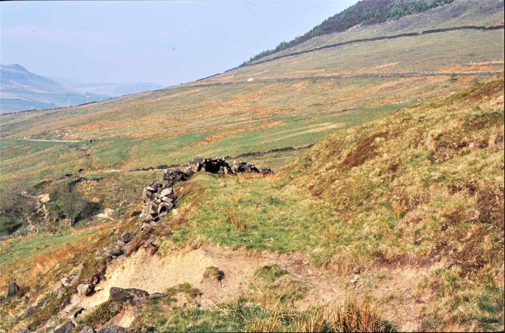
The road, now the A 624 – B6105, is still largely as built apart from the tarmac, and some widening and straightening in the 1950s and 60s, although Enterclough Bridge went when Woodhead Reservoir was built in the late 1840s and the turnpike was re-routed over the dam. One surviving feature is the Devil’s Elbow, the hairpin bend over the culvert at Ogden Clough, typical of turnpikes in hilly areas in this period, the priority being to avoid steep slopes even at the expense of sharp curves. Coaches could manage the curves much better than the slopes, which tired the horses very quickly. The old, very steep, way can still be seen below it, see pic.
For the Howard estate, though, the crucial part was the branch from Wimberry Hill through Hadfield to the Manchester-Saltersbrook turnpike beyond Woolley Bridge. This created a better route from (Old) Glossop, where there were already four mills with more soon to follow, to their markets in Manchester. Mills reached peak output in winter, when their heavy waggons would cut into soft surfaces, but successful mills were cash generators like nothing else at the time and their owners could well afford to pay for a solidly-built road. The tolls for travelling along the 3½ miles of the branch were therefore the same as for the whole 23 miles of the main road.
However, within 10 years there was an even better road to Manchester. Before we look at that, though, there was a scheme to turnpike another of the ancient routes across the Manor, which if it had come off would have given Glossop commuters a way round Mottram and opened up several new fronts in the housing wars…..
Next – Part 7 – The Road That (Almost) Never Was
Previous – Part 5 – A Thin Winding Ribbon of Gravel