cropped-GHT-logo.jpg
  • Home
  • About GHT
    • Our History
    • Our Activities
      • The Blue Plaque Scheme
    • Chair’s Report
    • Policies and Statements
  • Glossop’s Heritage
    • Places
    • People
    • Industry
    • Events
    • Organisations
    • Military
  • Support GHT
  • News & Resources
    • Walks
    • History Series
  • Contact GHT
  • Home
  • About GHT
    • Our History
    • Our Activities
      • The Blue Plaque Scheme
    • Chair’s Report
    • Policies and Statements
  • Glossop’s Heritage
    • Places
    • People
    • Industry
    • Events
    • Organisations
    • Military
  • Support GHT
  • News & Resources
    • Walks
    • History Series
  • Contact GHT

Home » Places » Page 6

Places

Glossop & District

Over the centuries ‘Glossop’ has been used to represent different territory and has had different meanings. Glossop is a valley system with three main components: Longdendale, Glossopdale and the Etherow Gorge. It is also the name of the town and used for the part of the valley system known as Glossopdale.

How Glossop got its name – The derivations for the name of Glossop.

Glossopdale

Glossopdale is the valley of Glossop Brook. It is also used to describe the area of the Manor of Glossopdale or Glossop Dale. From the 16th Century, George Talbot, 6th Earl of Shrewsbury often referred to his ‘Manor of Glossopdale’.

The Manor of Glossopdale was made up of ten townships Hadfield, Padfield, Dinting, Simmondley, Whitfield, Chunal, Charlesworth, Chisworth and Ludworth and the village of Glossop (Old Glossop). This area also includes Gamesley (which was part of Charlesworth) and Glossop (Howard Town).

Sub-categories for Places

Charlesworth
Chisworth
Chunal
Dinting
Gamesley
Glossop
Glossopdale
Hadfield
Old Glossop
Padfield
Simmondley
Whitfield

All Articles

Photograph of Wesley Street Methodist Church, Old Glossop
Old Glossop

Wesley Street, Old Glossop

Wesley Street (Methodist) The origin of the work and its development up to the year 1913 has been well told by Mr. H. W. Houseman

Read More »
28th May 2020
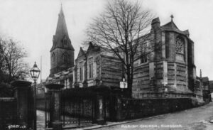
Photograph of All Saints Parish Church, Old Glossop
Old Glossop

All Saints Parish Church, Old Glossop

Church Street (Church of England) Extracts from “Neath Ancient Moss” by friends of Glossop Parish Church and from Glossop, the Official Handbook 1948. There have

Read More »
28th May 2020
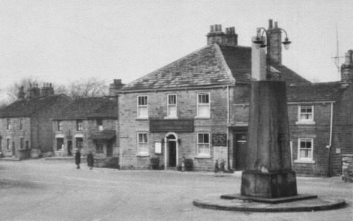
Photograph of The Square, Charlesworth
Charlesworth

Charlesworth in Pictures

Read More »
17th May 2020
Photograph of Todd Street, Whitfield
Whitfield

The Hamlet of Whitfield by Robert Hamnett

This page is based on the notes of Robert Hamnett, originally published as an article in the Glossop Advertiser in 1913. The name “Whitfield” in
Read More »
9th May 2020
Photograph of Ebenezer Chapel Whitfield
Religion in Whitfield

Ebenezer Chapel, Whitfield

Ebenezer Street (Methodist)   “Ebenezer” is a name often used to designate Methodist Chapels. It is a Hebrew word and means “the stone of help”.

Read More »
9th May 2020
Photograph of Hague Street Methodist Chapel Whitfield
Religion in Whitfield

Hague Street Methodist Chapel, Whitfield

Hague Street (Methodist) The original Chapel was opened on 26th October 1813 on land leased for 999 years at a rent of 11s. 3d. per
Read More »
9th May 2020
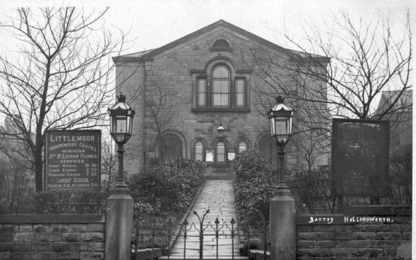
Photograph of Littlemoor Chapel Whitfield
Religion in Whitfield

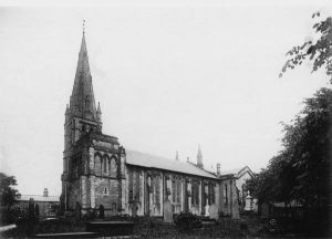
Littlemoor Chapel, Whitfield

Victoria Street (Independent) The land was given for this Chapel by Samuel Dearnally of Crosscliffe, Glossop. The first Trustees being George Hadfield, Moses Hadfield, John
Read More »
9th May 2020
Photograph of St James Church Whitfield
Religion in Whitfield

St. James’ Church, Whitfield

Hollin Cross Lane (Church of England) Extracts from Centenary booklet 1846 – 1946 The parish is constituted under the 6 and 7 Vic c 37

Read More »
9th May 2020
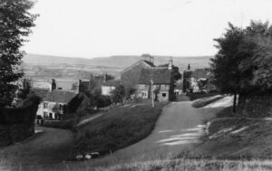
Photograph of Simmondley Chapel, High Lane
Simmondley

Simmondley Churches and Chapels

Simmondley Chapel High Lane (Independent) In 1837 a room was taken over some cottages as an Independent Sunday School. It was decided that a Chapel
Read More »
1st May 2020
Photograph of Simmondley Village
Simmondley

The Hamlet of Simmondley by Robert Hamnett

This page is based on the notes of Robert Hamnett, originally published as an article in the Glossop Advertiser in 1913. Simmondley is divided from

Read More »
20th April 2020
Page1 Page2 Page3 Page4 Page5

Copyright ©1999-2026 Glossop Heritage Trust. All rights reserved.

  • enquiries@glossopheritage.co.uk
We use cookies on our website to give you the most relevant experience by remembering your preferences and repeat visits. By clicking “Accept”, you consent to the use of ALL the cookies.
Cookie settings Read More ACCEPT
This site uses cookies

Privacy Overview

This website uses cookies to improve your experience while you navigate through the website. Out of these, the cookies that are categorized as necessary are stored on your browser as they are essential for the working of basic functionalities of the website. We also use third-party cookies that help us analyze and understand how you use this website. These cookies will be stored in your browser only with your consent. You also have the option to opt-out of these cookies. But opting out of some of these cookies may affect your browsing experience.
Necessary
Always Enabled
Necessary cookies are absolutely essential for the website to function properly. This category only includes cookies that ensures basic functionalities and security features of the website. These cookies do not store any personal information.
Non-necessary
Any cookies that may not be particularly necessary for the website to function and is used specifically to collect user personal data via analytics, ads, other embedded contents are termed as non-necessary cookies. It is mandatory to procure user consent prior to running these cookies on your website.
SAVE & ACCEPT